Monday, September 29, 2014

Jewels!

Frankly, and this is hard to admit, we were "gorged out" after three nights in the stunning West MacDonnell Ranges and needed to do something different. Gemtree, east of Alice Springs, was a perfect change - we stocked up in town and headed east.

It was a great bush camping park, and we did a fossicking tour the next morning, finding a zip-lock bagful of garnets. About 10 were jewelry-standard and rest were "show-and-tell" standard (awesome!). Julia is having some earrings made from two of our bigger stones (5mm).

Rather than heading back on the bitumen to Alice a couple told us about a rough 4wd track which headed south into the East MacDonnell Ranges (Binns track).  We were off on another adventure. We came across the historical Arltunga township (the original site of the Northern Territory's second city). This is a partially restored gold mining town (1890-1920) with a dozen or so stone buildings/shacks; most in ruins.

We stayed at the Ross River Campground (in a cabin, we are also a bit over camping!). We had planned to head back to Alice Springs via the bitumen road, but Jodie, the excellent manageress told us about a rough back road. Red rag to a bull - we were driving through sand and rivers and skimming the edge of the Simpson desert. Now we are in Alice Springs in a B & B with a pool!

Watching "Legend of Korra"

Very beautiful parrots eating the Mulga seeds.


Searching for garnets


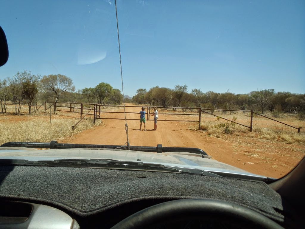
The kids opening gates on Binns track.

The reconstructed Arltunga police station. Some nong started a rumour about gold hidden in the walls so it was duly torn down.


Views from the hill above the Ross River Camp Ground. Owned by a Grollo from Melbourne apparently.


Crossing Ross River


Petroglyphs (simple carvings) in the rocks.

N'dhala gorge

On Binns track

Oh yeah!

West MacDonnell Ranges

From Kings Canyon, we drove over 100km of dirt road to the West MacDonnell Ranges. These low rocky ranges have multiple gorges carved through them, often filled with water. The rivers drain south into the Simpson desert and the vast Lake Eyre (a mainly dry salt lake). We had two amazing birds visit our bush camp at Redbank Gorge - the Red (RED!) Breasted Robin and Superb Blue Fairy Wren. We got done by the local dingo - she chewed the corner off our heavy duty naly bin, and knocked our put box over (we did not know it had choc chip biscuits in it - but she did). We laughed when she settled down 10 metres from camp in the shade of a Mulga tree and waited for us to leave for a day trip.
Tony was told about this legendary road marker 25 years ago - we found it on the road to the West Macs. Unfortunately its fabled sister "Put foot down" was not around the corner so his quest continues.

Another cool outback lizard.

Max at Gosse Bluff, a 144 million year old meteor crater.

Gosse bluff from afar.

Mt Sondar in the West Macs.

Glen Helen Gorge

Ormiston Gorge


Redbank Gorge

Julia liloing in Redbank Gorge. The water was freezing!


Looking west from a dawn climb on Mt Sondar. Mt Zell (circa 1500m)., the highest mountain west of the Great Divide. Flat country! For non-Australians the Great Divide runs about 100-400km from the east coast, so "west of the great divide" is most of the continent!
Looking east from Mt Sondar

The dingo!

Ellery Creek Big-Hole.

The kayak gets its last(?) ride for the trip.


Road corrugations leading towards Redbank Gorge.

Dingo attack! The brandy survivied.

Simpsons Gap


Native hibiscus.

Monday, September 22, 2014

Kings Canyon

After four nights at Uluru we drove west and then north to Kings Canyon. We did some geocaching on the journey (finding hidden treasure never gets boring!). We saw Mt Conner, a geological sister to Uluru and Kata Tjuta, but is on private land. We need a public subscription purchased National Park on this one - it looks great. You have to pay $175 to visit on a tour. 

Kings Canyon itself, and the small dome formations weathered in the stained orange rock all around it were spectacular. At 6km, and in the afternoon (the best light), it was a pretty hard walk for the kids. We went out for dinner that night at the resort Bistro. Luxury!

 We are heading into the West McDonnell ranges for more outback camping (no internet or restaurants! for five nights before arriving at Alice Springs.
Mt Conner from afar.

At a geocache.

Salt lake north of the road (a view from another geocache site).
We think this is, or part of, Lake Amadeus.

Dingo by the roadside.

On the Canyon Rim.


Views looking into the Canyon.


In the "Garden of Eden". Water seeping out of the rock, a hard layer forms a high water table. Unfortunately swimming is not allowed. 

In the garden cooling down.

Some of weathered formations on the south rim of the canyon. Very photogenic.


Very pleased with this shot using my underwater camera!

Cool red tailed lizards.

The view from Kings Canyon Resort.